| Channel | Publish Date | Thumbnail & View Count | Actions |
|---|---|---|---|
 | Publish Date not found |  0 Views |
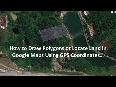
This simple video shows how to draw polygons or locate land in Google Maps using GPS coordinates. Once a polygon or a land is drawn, its area and perimeter are automatically calculated. The map thereafter can be marked, saved, printed or sent to others.
Please take the opportunity to connect and share this video with your friends and family if you find it useful.


